
When I map out my rides on Ride With GPS, I often largely overlook the elevations. I’m not sure whether it’s because I’ve ridden in Brisbane for so long that I just take it for granted that if I wanna go anywhere interesting I’ll probably be doing quite a bit of climbing or if I’m subconsciously shielding myself from what’s ahead. Whatever the case, my recent off-road route up and over Mt Cootha, past the Enoggera Reservoir and through the Keperra Bushland via the Hilder Road entrance was no exception.
One of the most exciting things about this route is that there were sections that I hadn’t ever been on before. Yep, completely new to me even as someone who has been riding Brisbane for several decades. I don’t know exactly what that says about me. Maybe it’s that I’m very much a creature of habit most of the time. Or maybe it just says something about Brisbane; maybe that it has so many available rides that it has the power to continually surprise. Either way, the sections through Bardon and up My Cootha along the Powerful Owl Trail plus the section through the Keperra Bushland via the Hilder Road entrance were firsts for me even though I had no doubt crossed their paths at some time before.
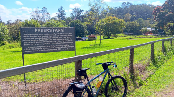
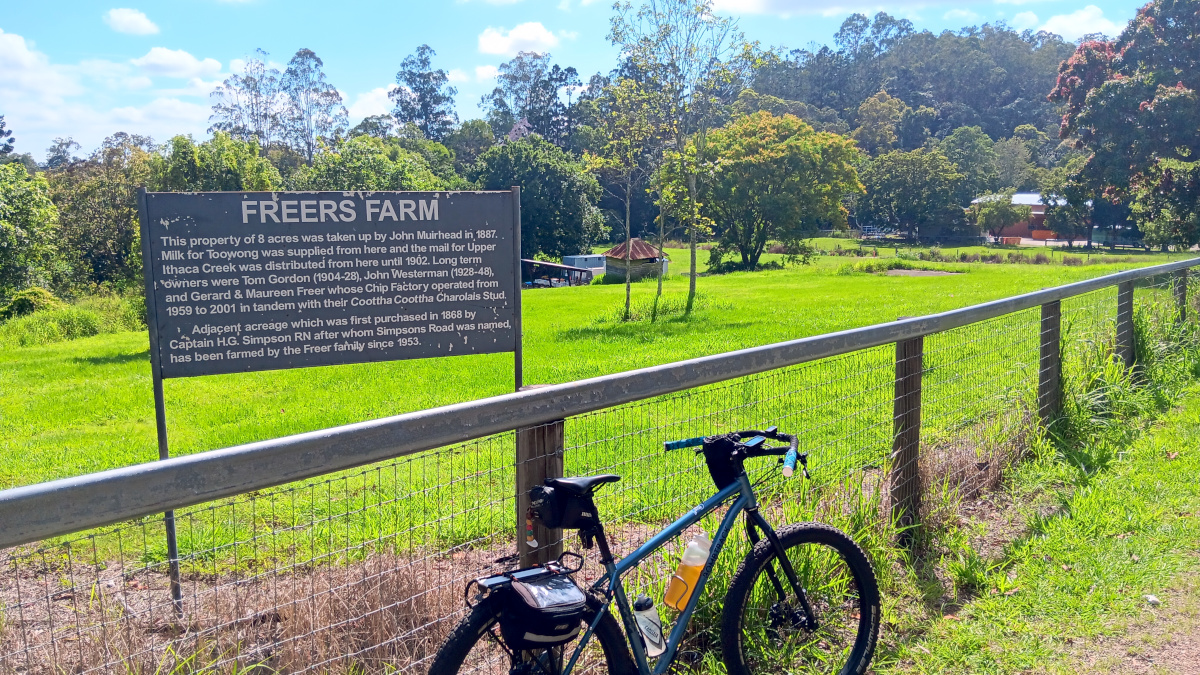
My fitness level is not terribly high at the moment – not terrible but certainly not at my peak – so I thought it best not to burn too many matches and suffer the consequences later. It was all fairly straight forward through Alderley and Ashgrove until I hit Monoplane Street at Bardon where I turned the GPS on to get through all the bikeways and back streets to the base of Mt Cootha. But before starting the climb up the Powerful Owl Trail, I noticed a sign at the side of Sir Samuel Griffith Drive where I stopped for a drink and to watch the roadies whiz past on their way to and from the summit of Mt Cootha. It was the site of the old Freers chip factory. That was a nice blast from the past that conjured up memories of packets of Freers chips at home, in supermarkets and in the bottom of showbags amongst plastic toys, pens and other goodies.
The climb up the Powerful Owl Trail is bloody steep. No point in sugar coating it. Sections of it hit 19% gradient and were definitely all about hike-a-bike. On the way up, as expected, my head gremlins were busy seeding doubt and resentment into me and had me making silent proclamations that I wouldn’t be taking this route up the mountain again but once I had covered a couple of the steepest kilometres and things started to flatten out again, logic prevailed again and I was sure that it was all worth while and that I would be back again.
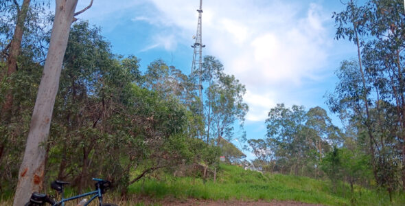
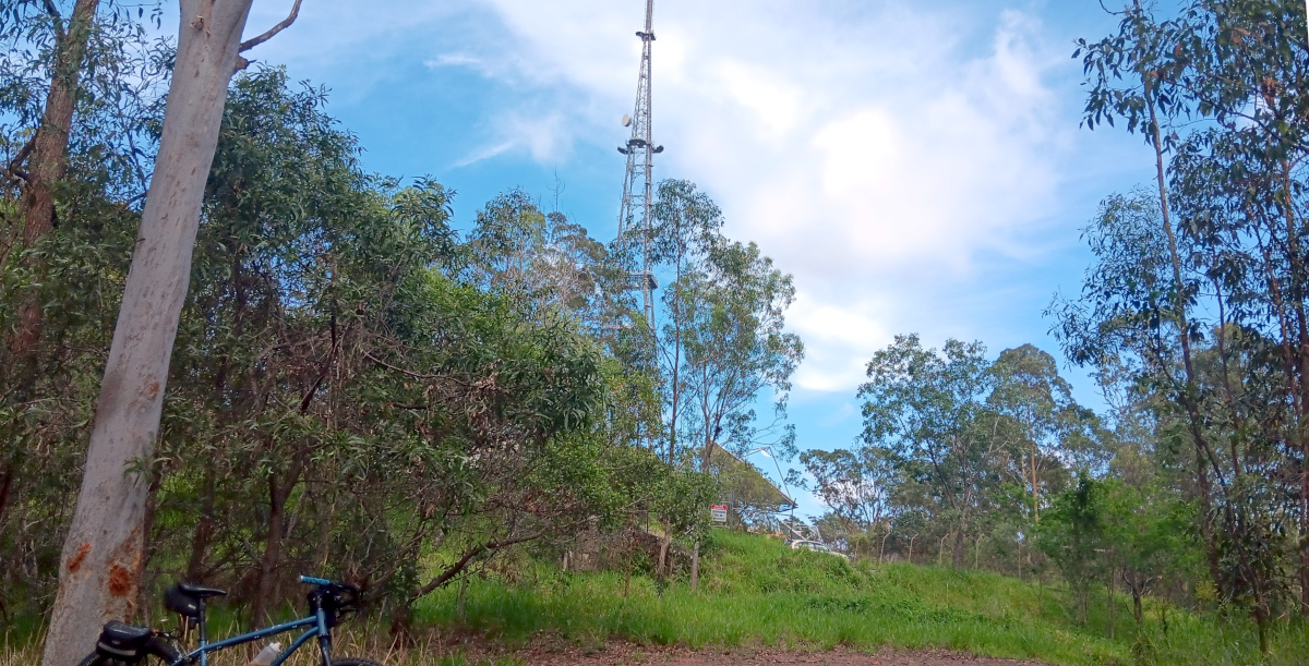
A giant, steel television transmission tower now hovered well above me as I crested the mountain behind channel nine. From there, it was a short roll along Mt Cootha Road to the Highwood Trail where I dropped back down the opposite side of the mountain into Gap Creek Rd and Highwood Road. There was a surprisingly large number of other bikes all over the mountain given how hot and humid it was on this November day. Road bikes, mountain bikes, gravelers and nondescript derelicts like myself.
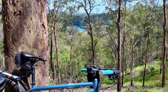
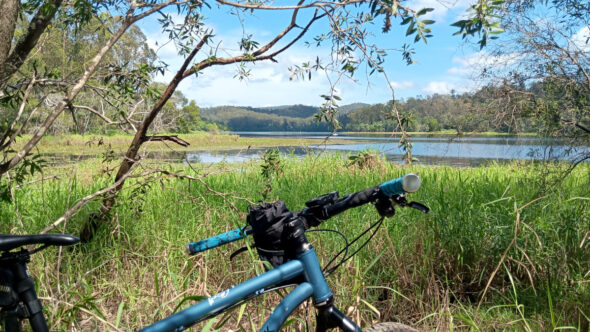
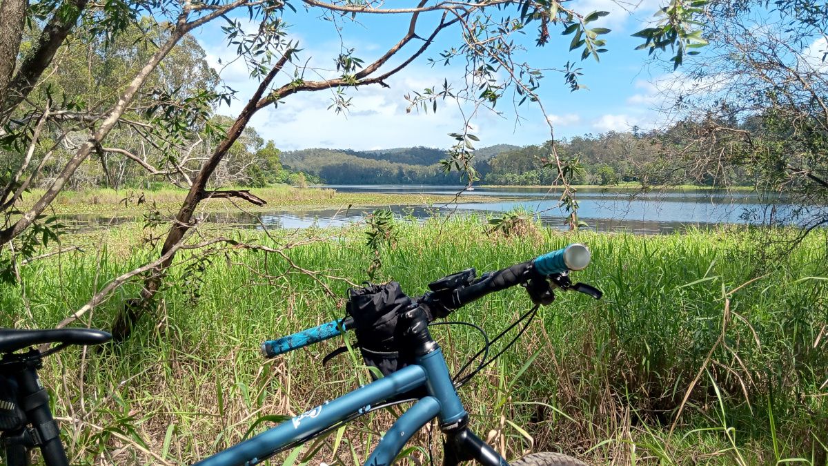
A few more pinch climbs and I was heading down South Boundary Road towards the Enoggera Reservoir. I had planned a swim there amongst the lilly pads but chickened out when I got there in favour of continuing on to find much needed food, coffee and hydration. I found salvation at the 7Eleven petrol station at The Gap where I shared standing room with some roadies outside the storefront while inhaling a sandwich and iced coffee.
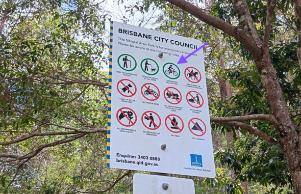
The roadies vacated before me after closely inspecting and admiring what looked like a very new, very expensive Prova owned by one of their compatriots. Re-energised, a short time later, I also plodded off in the opposite direction towards Hilder Road where I would indulge in the second new section of the ride. It’s not that I’d never ridden through the Keperra Bushland before but the Hilder Road entrance was always a mystery to me. I always wondered if I could get in that way and if bikes were allowed and whether I’d have wasted my time trying if I couldn’t. Happily, I would be rewarded for my efforts.
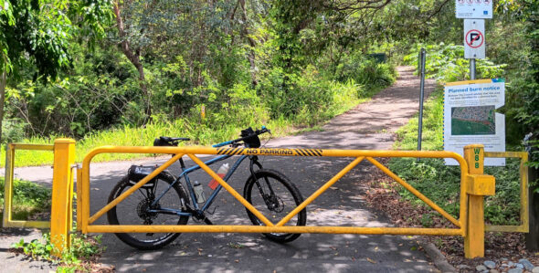
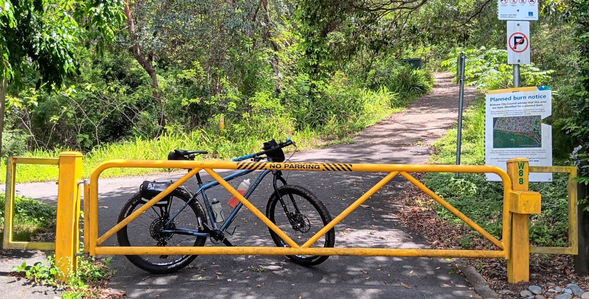
At the very end of Hilder Road is a pebbled concrete path between two houses that looks very much like a driveway but leads to a locked, yellow, metal council gate that is adorned with all the official council signage to provide you with reassurance that you are in the right place. There are some very narrow gaps at the sides of the gate to let pedestrians through but they will be too narrow for a bike so you’ll have lift the whip over the top. There’s obviously been problems before with motorcycles, etc.
Once inside, the pebbled concrete continues in two directions. Pick one, any one. They both lead to sections of very steep climbing of around 14% which is softened slightly by the fact that the pebbled concrete provides a great level of traction for what are probably the steepest parts of the climb. See your favourite mapping application for advice on which direction to take.
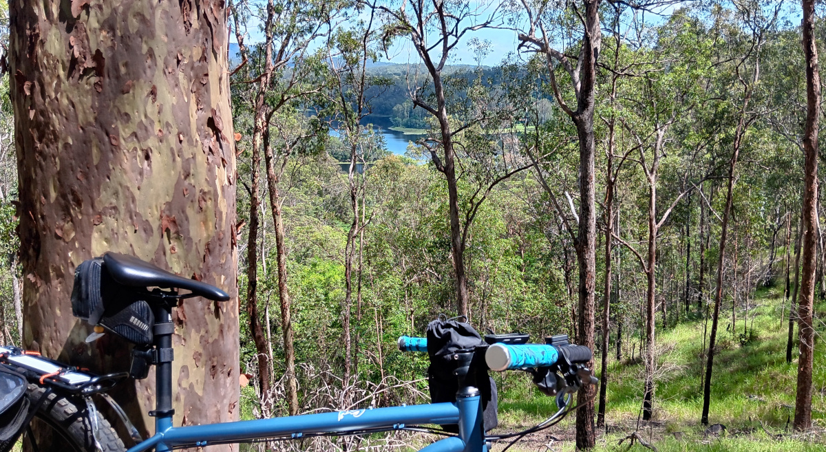
Once the pebbled concrete ends, you get the opportunity to stop and admire the view which stretches back toward Mt Cootha and probably in a few other directions if you peer through the trees in the right spots. Take a few good sips of drink and a few deep breaths because there’s a section or two of hike-a-bike on dirt now but the good news is that it will probably be the worst of the climbing over with.
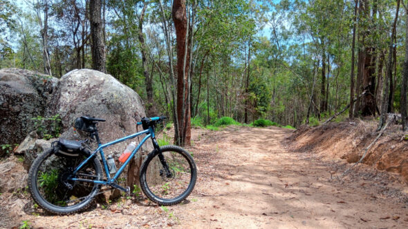
From here, there’s a few more little pinch climbs but it’s mostly smooth sailing to the back of Ferny Grove where I found my way through the back streets and ended up on Lanita Road and into Ironbark Gully. The rest was pretty much one big downhill run along the Cabbage Tree Creek bikeway back towards the start of the loop.
So, there you have it. A new (to me) route that provides yet another perspective on Brisbane Northside riding. See the GPS plot below if you wish to partake. Hopefully you get as much out of it as I did.
Ride safe and see you out there sometime.